The Aeon Herald / HISTORICAL EDITION
Old Fire Leaves a Burned Route From Valley to Mountain
The Old fire moved from San Bernardino’s foothills into mountain communities as the winds changed, burning roughly 91,000 acres and destroying about a thousand structures.
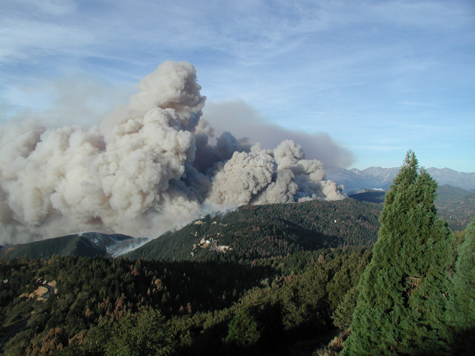
SAN BERNARDINO — The Old fire attacked two familiar ideas about where a town ends. It burned the brush above the valley's developed streets, then climbed toward communities surrounded by mountain forest. The change was driven in part by a change in the wind. Residents below the mountains and residents high among them were confronting different stages of the same emergency.
The fire began October 25 in Waterman Canyon. Santa Ana winds first drove it toward San Bernardino and Highland. When the offshore flow gave way to winds from the other direction, the fire moved uphill into the San Bernardino Mountains. Cedar Glen, Crestline and the Waterman Canyon area were among the places burned. A fire already destructive in grass and chaparral acquired a further field of operation in pine forest.
Its final area was approximately 91,000 acres. About a thousand structures were destroyed, most of them homes. Six fire-related deaths and a dozen injuries were recorded. These losses belong to the Old fire's accounting; nearby incidents had their own perimeters and damage. During a regional siege, combining every conspicuous smoke column into a single fire obscures both the sequence of events and the particular communities affected.
The Old fire did eventually meet the Grand Prix fire to the west. Together they presented an extensive front across the mountains. That connection enlarged the problem confronting commanders, but it did not erase the origins of the two incidents. Grand Prix had begun near Fontana earlier in the week. Old carried its own destructive passage from Waterman Canyon toward Lake Arrowhead and the surrounding settlements.
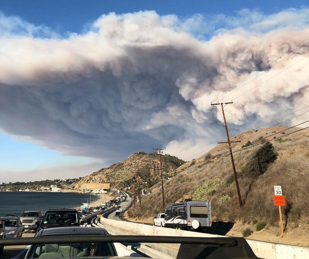
Evacuations extended across a remarkable range of communities. People left areas from the edge of San Bernardino into the mountains, including communities between Crestline and Big Bear. Federal accounts describe twelve communities under mandatory evacuation and eighteen more under voluntary notices. The movement of residents out of a mountain district also meant movement along a limited road system that firefighters and other essential personnel still needed to enter.
The weather eventually helped the suppression effort. Rain and snow assisted containment after the fire's run through the forest. That relief did not alter the lost houses, but it changed the conditions under which crews could secure the perimeter. The same mountains that had carried an uphill fire now received the colder, wetter weather associated with the turn toward winter.
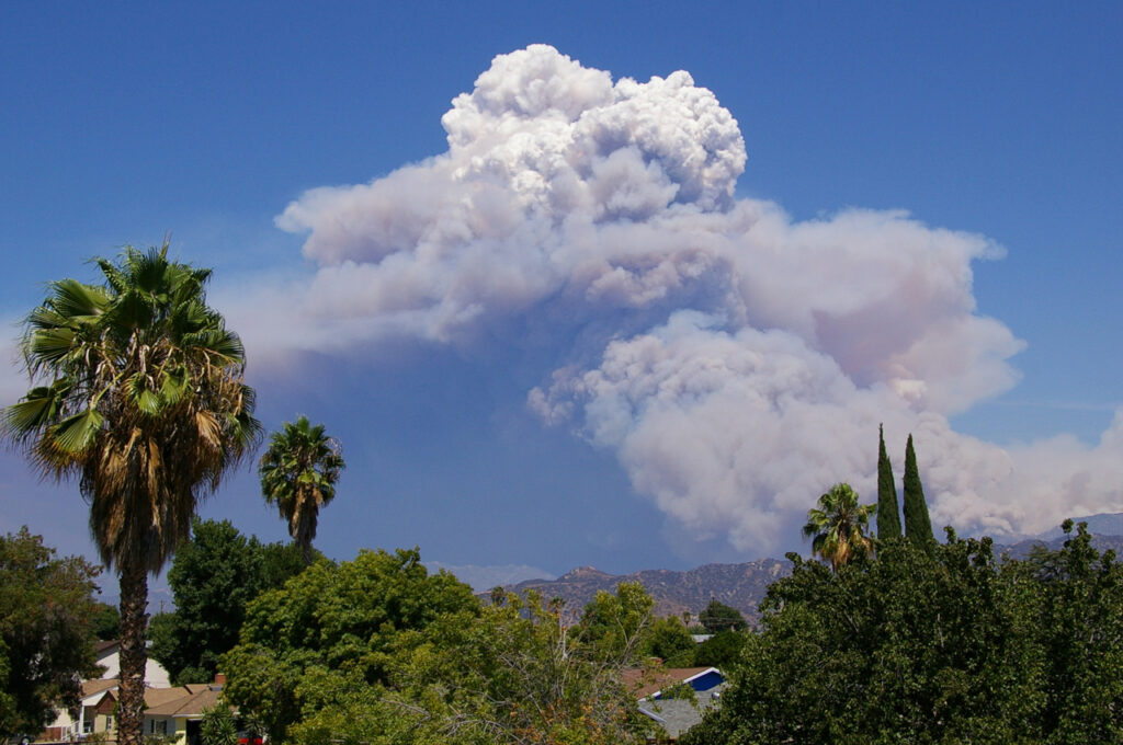
Satellite observations made while the siege was still unfolding showed the Old and Grand Prix fires as neighboring areas of burning east of Los Angeles. Other clusters extended northwest and south toward San Diego. The view is a useful reminder of the burden upon the region. It is less useful for describing a single family's route out of a threatened mountain community, where the usable road and the latest evacuation notice mattered more than the statewide picture.
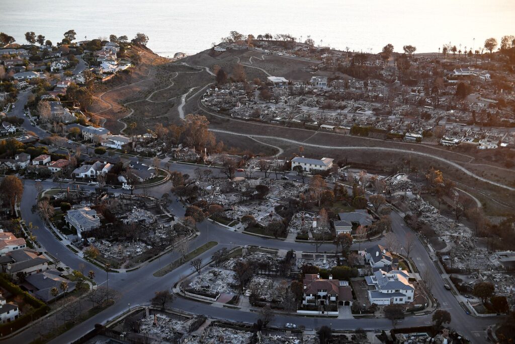
The task of return requires another kind of coordination. A community can remain difficult to occupy after the active flames have moved elsewhere. Roads must support returning traffic and emergency access; damaged properties require inspection; a notice applicable to one settlement may not describe the next. Accurate place names and clear boundaries become part of the recovery work, as they were part of the evacuation.
Old's course also cautions against treating a wind change as an automatic end to danger. The turn away from the Santa Ana helped redirect this fire into another landscape, with other homes in its path. The valley and the mountain towns did not suffer separate disasters simply because their surroundings looked different. They were connected by the slope, the weather and a fire that crossed both.
Sources & further reading
- Safety Background Report, table 5-1 — San Bernardino County, 2018-11-28.
- Public Responses to Wildland Fire, Open-File Report 2005-1061 — U.S. Geological Survey, 2005.
- Managing Wildland Fires, Science Perspectives — Anne M. Rosenthal, U.S. Forest Service Pacific Southwest Research Station, 2004.
- Fires in Southern California — NASA Earth Observatory, 2003-10-26.
Related Herald reporting
- Cedar Fire Crosses the Distance Between Forest and City — Jennifer Dalton, 2003-11-16.
- Witch Fire Carries a Backcountry Emergency Into Rancho Bernardo — Jennifer Dalton, 2007-11-11.
- Catalina’s Fire Scar Leaves a Long Recovery Beyond Avalon — Jennifer Dalton, 2007-11-12.
- Station Fire’s Smoke Spreads Beyond the Flames in Satellite View — Andre Lawson, 2009-09-02.
- Station Fire Leaves the Angeles Forest With a Long Recovery — Jennifer Dalton, 2009-10-25.
- Old Topanga Fire Tested Every Route Between the Canyons and the Coast — Gary Preston, 1993-11-14.
- Laguna Beach Reckons With a Fire That Reached the Houses — Gary Preston, 1993-11-14.
- Paint Fire Turned a Mountain Wind Into a Neighborhood Disaster — Gary Preston, 1990-07-08.
- Thomas Fire Ends With a Second Disaster in Its Watershed — Jennifer Dalton, 2018-01-21.
- Camp Fire Search Revises the Toll as Paradise Faces Its Ruins — Jennifer Dalton, 2018-12-05.
- Woolsey Fire Leaves Homes and a Piece of the Movies to Rebuild — Jennifer Dalton, 2019-01-13.
- Bobcat Fire Burns a Route Across the San Gabriels — Jennifer Dalton, 2020-12-27.
- Palisades Fire Contained Without the Loss of a Home — Jennifer Dalton, 2021-05-27.
- Dixie Fire Burns Through Greenville as Smoke Spreads Across the West — Jennifer Dalton, 2021-08-08.
- Wheeler Fire’s Long Campaign Ended Far From Its First Smoke — Gary Preston, 1985-07-21.
- McKinney Crews Turn to Repair After Fire Devastates Klamath River — Jennifer Dalton, 2022-08-30.
- Mosquito Fire Leaves Waterworks and Burned Homes in the Repair Account — Jennifer Dalton, 2022-10-24.
- Post Fire Leaves Hungry Valley Closed for a Different Kind of Recovery — Jennifer Dalton, 2024-07-04.