The Aeon Herald / HISTORICAL EDITION
Station Fire Leaves the Angeles Forest With a Long Recovery
The 160,577-acre fire threatened foothill communities and Mount Wilson, destroyed homes and took the lives of two county firefighters protecting Camp 16.
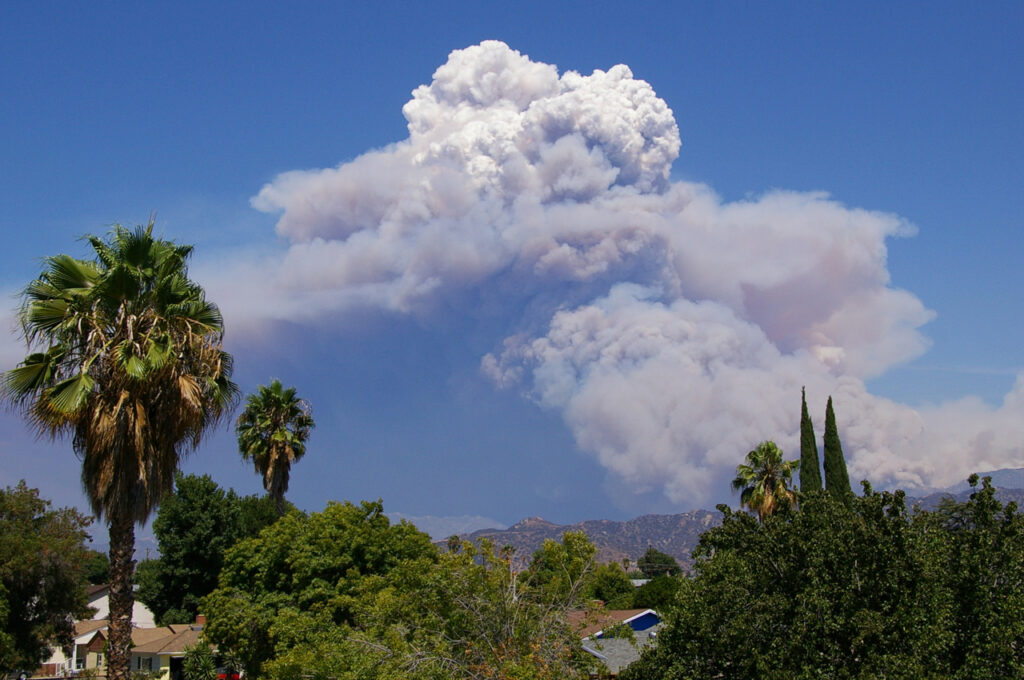
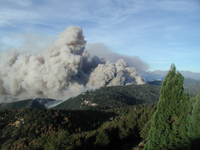
LA CAÑADA FLINTRIDGE — The Station fire has left a vast burned area above the Los Angeles basin and a recovery problem extending beyond any one foothill city. The incident consumed 160,577 acres in and around the Angeles National Forest. It began August 26 beside Angeles Crest Highway, above La Cañada, on a steep slope where the mountain road passes close to heavy vegetation.
Two Los Angeles County firefighters died while defending Camp 16. Captain Ted Hall and Firefighter Specialist Arnie Quinones were killed when their engine went off a road and was overtaken by the fire. The camp was destroyed. Their deaths give a particular place and a particular assignment to an incident otherwise described in enormous perimeter maps.
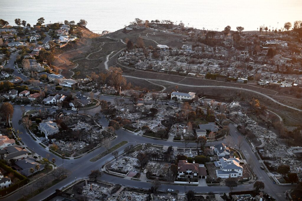
The destroyed property included eighty-nine residences, twenty-six commercial buildings and ninety-four outbuildings. The categories matter. A count of all structures is not a count of houses, and a comparison that substitutes one for the other would give a distorted picture of the communities' loss. The fire damaged a working and inhabited mountain landscape, as well as the scenery visible from the basin.
The effort to protect Mount Wilson showed how closely that landscape is connected to the city below. The summit contains a historic observatory and communications facilities serving much of the Los Angeles region. Fire around it threatened both scientific instruments and the towers through which ordinary daily information passes. A distant mountain emergency could therefore have immediate consequences well outside the neighborhoods under evacuation.
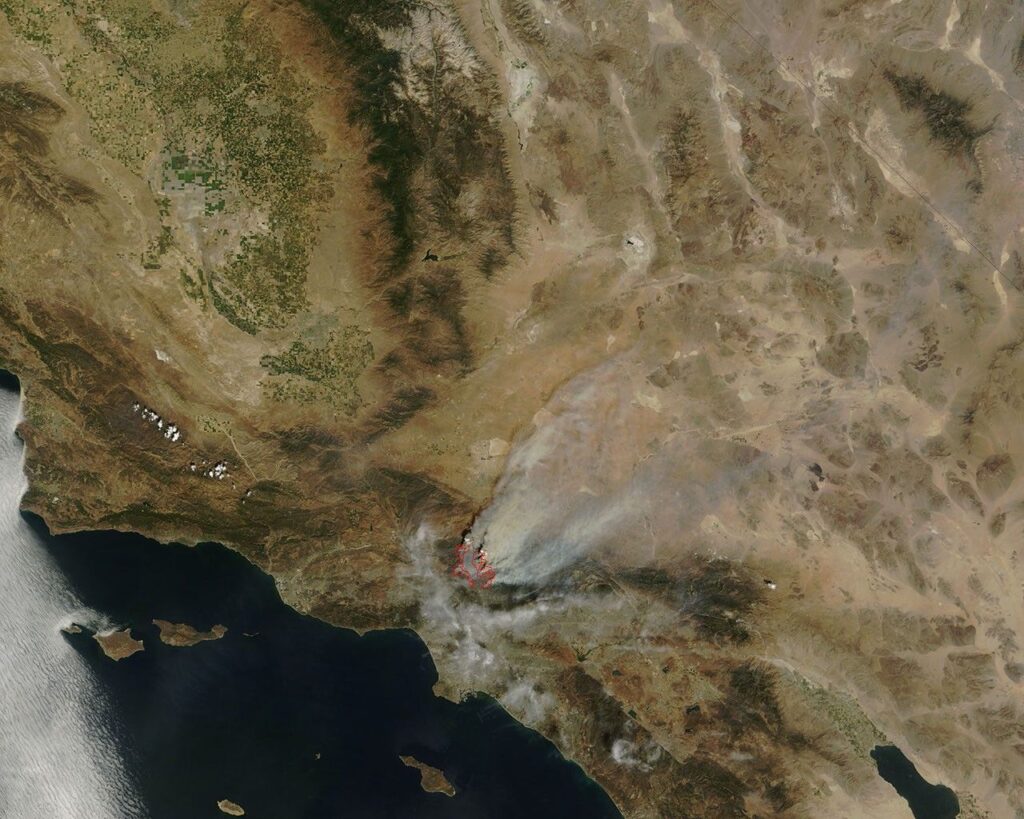
NASA's September 6 satellite view recorded the danger in useful detail. The fire had approached Mount Wilson from two sides, while forest immediately around the observatory remained unburned. The image was assembled from observations by the ASTER instrument aboard Terra. It showed a great scar in the mountains and a much smaller area whose survival carried unusual importance for science and communications.
Such a view cannot show all the work needed beneath it. Aircraft could reach ground difficult to approach by road, but crews still had to establish and hold lines across steep terrain. At the height of operations, twenty-three helicopters and twelve airtankers were assigned. The deployment included very large aircraft, conspicuous in the air over the basin, working alongside machines and crews less readily visible from a city street.
Weather brought a useful change in early September. A returning marine layer lowered temperatures and raised humidity, helping firefighters on the western flank. That improvement did not instantly settle the entire incident. The long perimeter still required work across difficult country, and the operation continued after the most dramatic advances of the fire had passed out of the daily headlines.
The state now lists the fire as fully contained. For the foothill communities, that is an essential milestone, but it does not reopen every road or restore every building. For the forest, it marks the transition from a suppression problem to the assessment of damaged ground, facilities and access. Each burned canyon must be considered as part of a watershed rather than merely a patch of discoloration on a regional map.
Los Angeles often sees the Angeles National Forest as the backdrop to its streets. Station has made the relationship more concrete. Homes, mountain access, observatory work and regional communications occupied the same field of danger. The final acreage describes the extent of the fire. The work ahead will be judged in smaller units: a safe road, a repaired facility, a household able to return, and a landscape whose damage can be understood before the next emergency arrives.

Sources & further reading
- Station Fire incident record — CAL FIRE.
- Large Fire Cost Review for Fiscal Year 2009, Station Fire section — Secretary of Agriculture’s Independent Large Cost Fire Review Panel and Guidance Group, Inc., 2010-08.
- Fires in Los Angeles County — Holli Riebeek, NASA Earth Observatory, 2009-09-09.
- Remembering Heroes: Captain Hall and Fire Fighter Specialist Quinones — Los Angeles County Fire Department Communications Section, 2022-09-09.
Related Herald reporting
- Station Fire’s Smoke Spreads Beyond the Flames in Satellite View — Andre Lawson, 2009-09-02.
- Catalina’s Fire Scar Leaves a Long Recovery Beyond Avalon — Jennifer Dalton, 2007-11-12.
- Witch Fire Carries a Backcountry Emergency Into Rancho Bernardo — Jennifer Dalton, 2007-11-11.
- Old Fire Leaves a Burned Route From Valley to Mountain — Jennifer Dalton, 2003-11-23.
- Cedar Fire Crosses the Distance Between Forest and City — Jennifer Dalton, 2003-11-16.
- Thomas Fire Ends With a Second Disaster in Its Watershed — Jennifer Dalton, 2018-01-21.
- Camp Fire Search Revises the Toll as Paradise Faces Its Ruins — Jennifer Dalton, 2018-12-05.
- Woolsey Fire Leaves Homes and a Piece of the Movies to Rebuild — Jennifer Dalton, 2019-01-13.
- Bobcat Fire Burns a Route Across the San Gabriels — Jennifer Dalton, 2020-12-27.
- Palisades Fire Contained Without the Loss of a Home — Jennifer Dalton, 2021-05-27.
- Dixie Fire Burns Through Greenville as Smoke Spreads Across the West — Jennifer Dalton, 2021-08-08.
- McKinney Crews Turn to Repair After Fire Devastates Klamath River — Jennifer Dalton, 2022-08-30.
- Mosquito Fire Leaves Waterworks and Burned Homes in the Repair Account — Jennifer Dalton, 2022-10-24.
- Post Fire Leaves Hungry Valley Closed for a Different Kind of Recovery — Jennifer Dalton, 2024-07-04.
- Park Fire Leaves a 429,603-Acre Scar as Emergency Managers Count the Disruption — Jennifer Dalton, 2024-09-25.
- Eaton Fire Containment Leaves Altadena Facing a Long Recovery — Jennifer Dalton, 2025-02-01.
- Eaton Fire Recovery Reaches From Burned Lots to Classrooms — Jennifer Dalton, 2025-08-03.
- Palisades Fire Leaves a Neighborhood and Its Public Landscape to Rebuild — Jennifer Dalton, 2025-08-03.